mFieldTrip
Cross-platform mobile app replacing traditional geography field studies with interactive, self-guided GIS excursions.
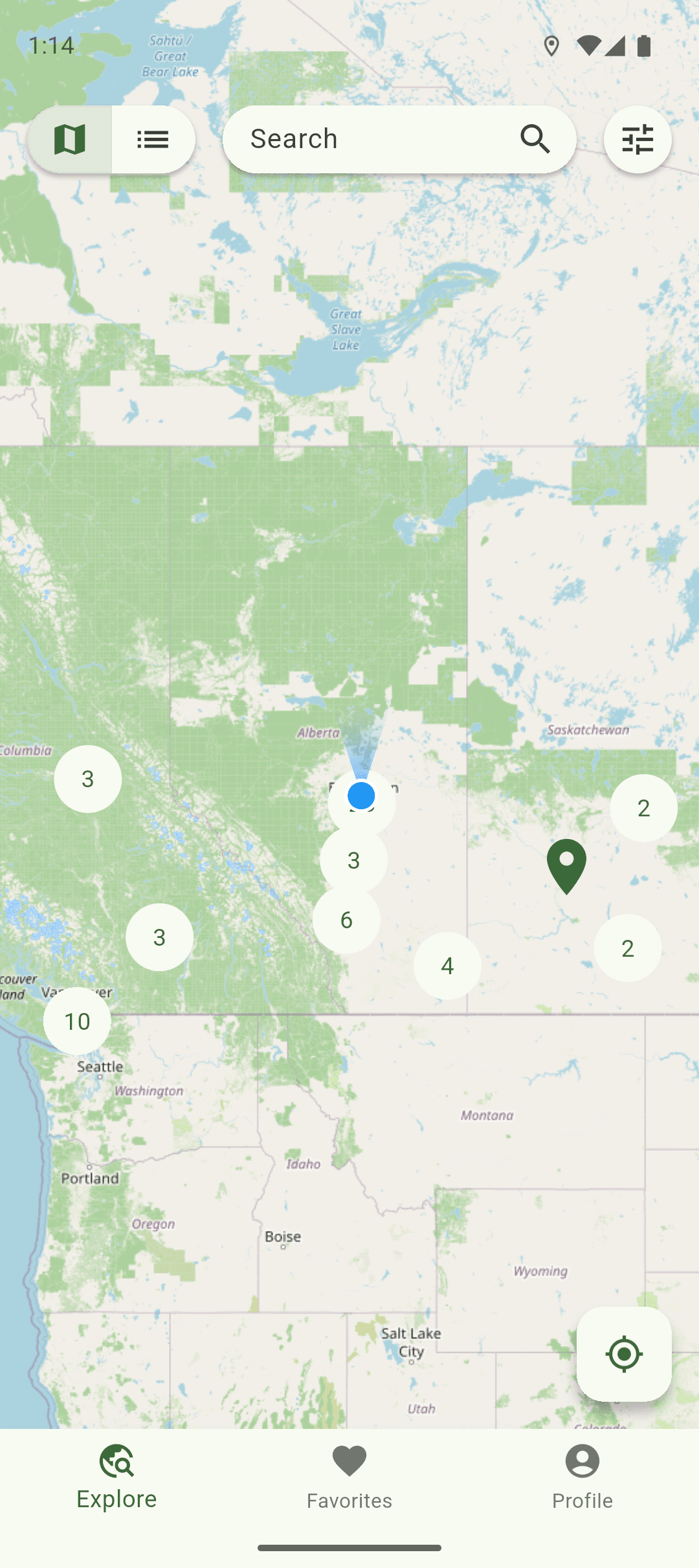
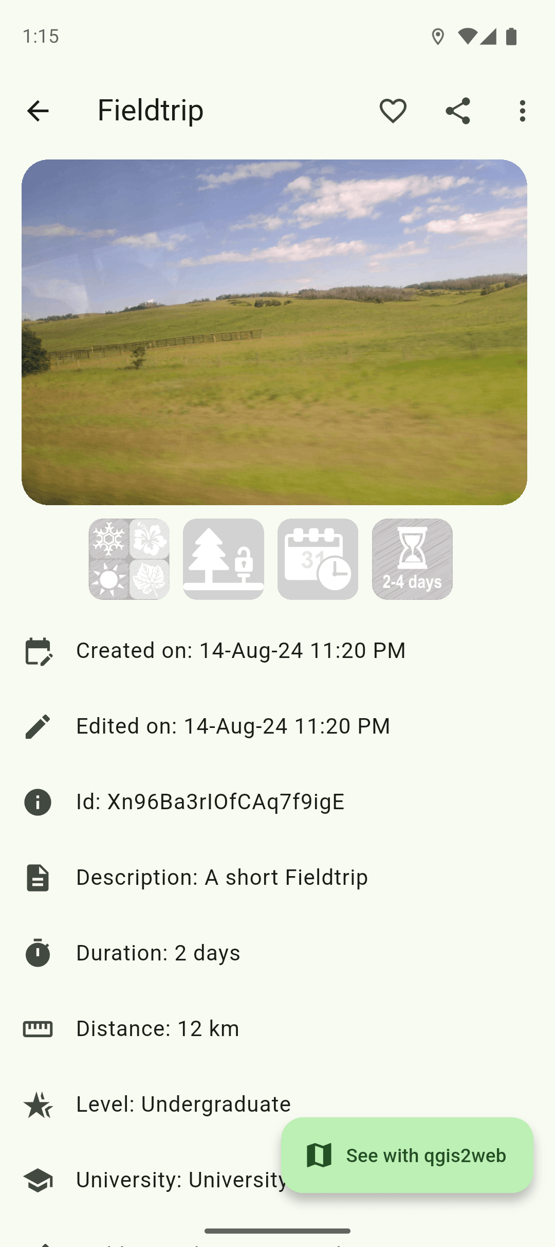
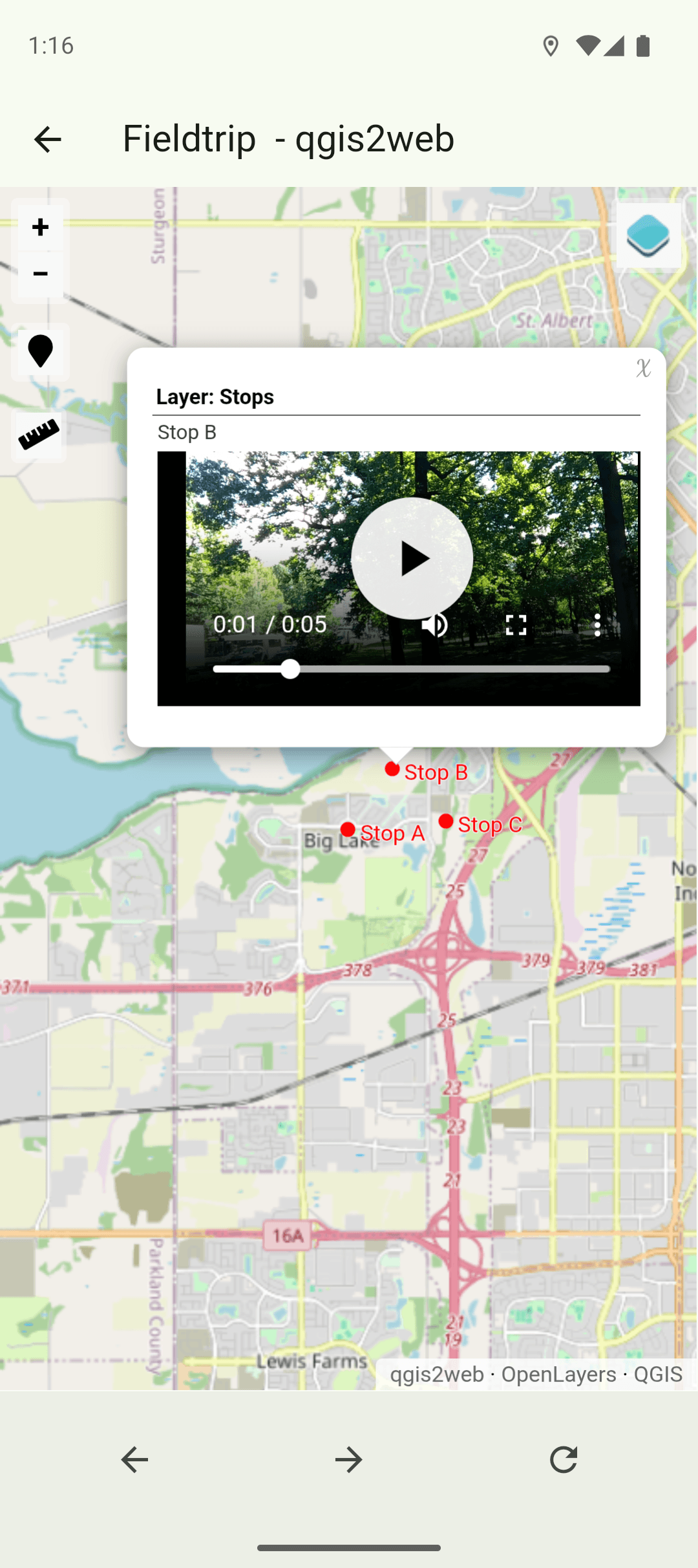
Interactive map of all field trips
mFieldTrip enables remote geography field studies through interactive, self-guided excursions powered by open-source GIS data. Built during an internship at Athabasca University, which specializes in open and online learning, the app addresses the need for distance education students to complete field assignments without traveling to campus.
The interface was prototyped in Figma and developed as a cross-platform Flutter application for Android, iOS, and Web. Interactive maps combine flutter_map with QGIS2Web exports rendered through WebView, and a geospatial algorithm orders field trips by proximity. Four user roles are secured through Firebase Authentication and Cloud Firestore: students, professors, administrators, and guests, with public visibility controls for unauthenticated visitors.
The project resulted in a working mobile app used to support remote geography education at Athabasca University.